Walk the Cesena Hills in your browser
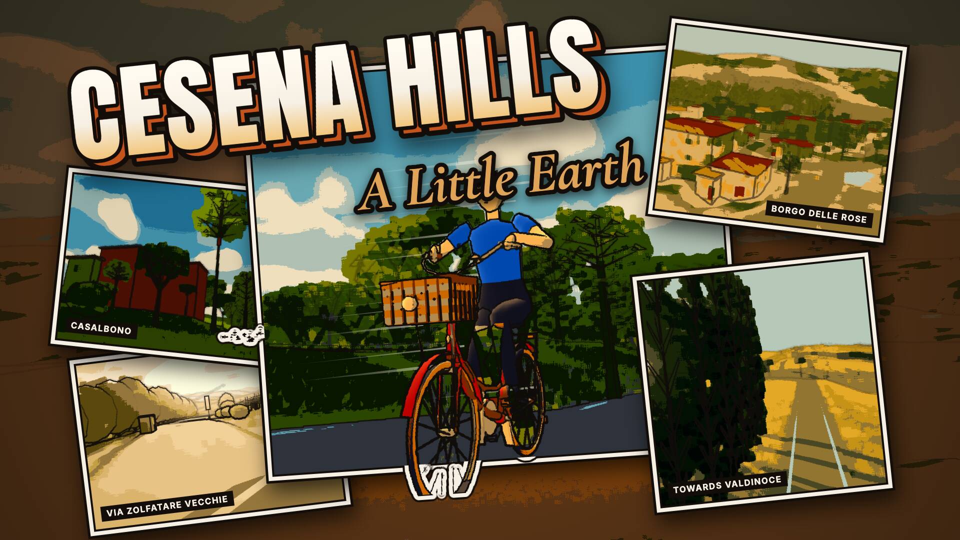
From Case Venzi towards Valdinoce, down Via Casalbono to Borgo delle Rose and along Via Zolfatare Vecchie: ridge roads, fields and woods.
Free. It runs in the browser on a phone or a computer, nothing to install.
What is there
The hills south of Cesena, on foot, by bike or by car: the ridge road from Case Venzi towards Valdinoce, Via Casalbono running down to Borgo delle Rose and the white gravel of Via Zolfatare Vecchie, among fields, farmhouses and woods, with the view all the way to the sea. The terrain comes from Regione Emilia-Romagna LiDAR surveys, roads and buildings from OpenStreetMap; light, sky and sounds are generated in code.
What you can walk to
- Case Venzi
- Valdinoce
- Borgo delle Rose
- Via Casalbono
- The white gravel of Via Zolfatare Vecchie
Getting around
On foot, by bike, on a scooter or in a car. WASD walks and Shift runs; B takes the bike, X whistles for a scooter that rides up and waits for you, and C gets you into the parked car beside you. On a phone it all works by touch.
Day, night and weather
The clock runs from day into night. In the settings (O) you can stop it, pick a season or today's date, and set the weather: rain, fog, storm or snow. The seasons follow the monthly climate of Cesena Hills for 1991–2020.
Other people
If someone else is walking the Cesena Hills at the same moment, you see them, and they see you. You can switch multiplayer off.
How it is made
Painted low-poly, built from open data:
- OpenStreetMap
- DBTR Regione Emilia-Romagna
- Regional terrain and surface models
- Ortofoto RER 2023-24
The painted look, the light and the sky are made in code. Data credits and licences
More places
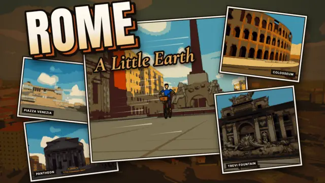
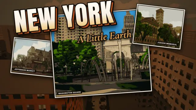

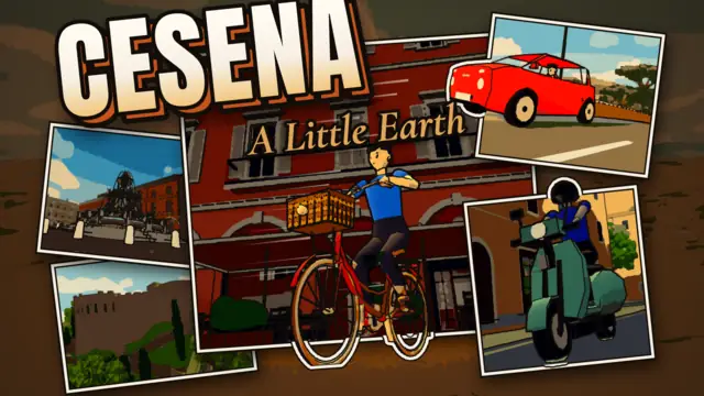
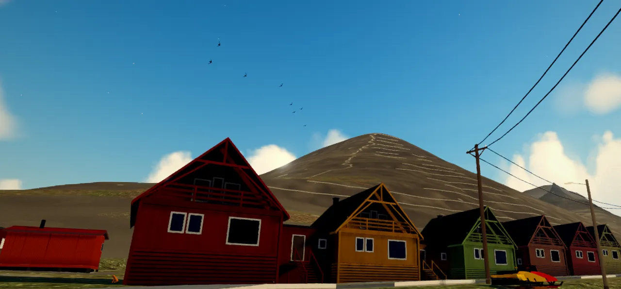


On the way: Cervia, Cesenatico, Ravenna